The UK just struck a deal with Google to bring real-time bus tracking to millions of passengers across England
Summary
Q: Can I track buses in real time on Google Maps in England?
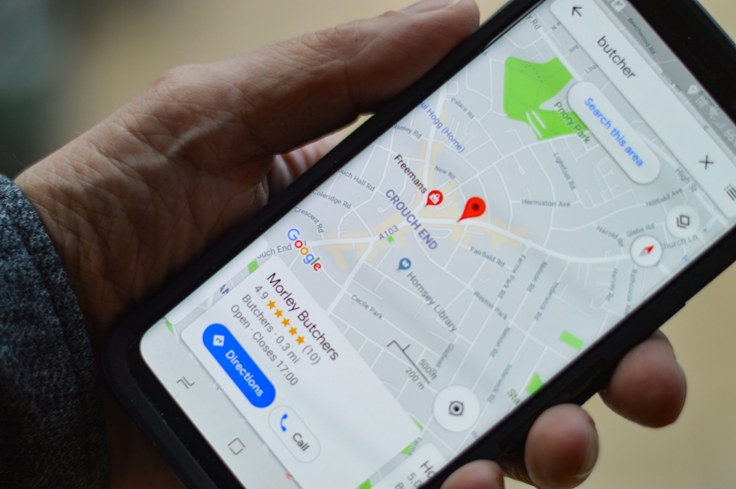
A: Yes. From soon after 2 April 2026, live bus locations and expected arrival times will be available directly in Google Maps across England, thanks to a new UK government and Google partnership.
Q: Why is real-time bus tracking being added to Google Maps?
A: To give passengers, especially in rural areas, more confidence when planning journeys. You’ll know exactly where your bus is and when it will arrive, so you can leave home at the right time instead of waiting at the stop.
Q: What else is in the UK government’s new transport strategy?
A: The Google Maps partnership is one of over 40 commitments to create a better connected network. It also includes support for contactless “tap-and-go” payments across buses, trams and trains, plus £40 million for digital technology trials to reduce congestion.
Article
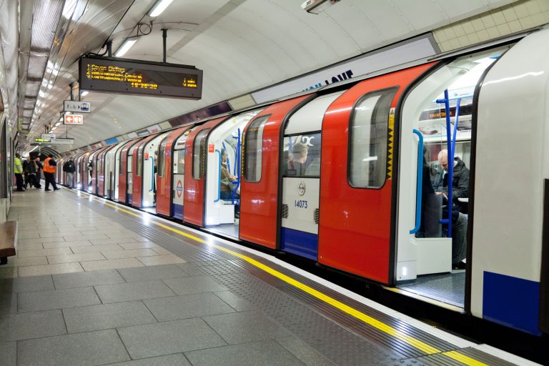
Passengers across England will soon be able to track their bus in real time directly in Google Maps, thanks to a new partnership between the UK government and Google announced on Thursday (2 April).
The deal integrates live bus location data and expected arrival times into the widely used navigation app, giving millions of travellers, especially in rural areas where services are less frequent, greater confidence to plan journeys without standing at stops, unsure when the next bus will arrive.
“Passengers should not be left guessing when their bus will turn up, no matter where they live. Working with Google, we’re bringing real-time bus tracking to more parts of England for the first time.
“Passengers will know exactly where their bus is and when it will arrive, so they can leave home at the right moment rather than standing at a stop and hoping,” said Transport Secretary Heidi Alexander.

Sarah-Jayne Williams, Director of Geo Partnerships at Google Maps, said the partnership aligns with the company’s goal of supporting sustainable travel choices.
“By integrating real-time bus information across England into Google Maps, we are giving millions of passengers the confidence to plan their journeys accurately.
“This partnership with the Department for Transport ensures that whether you are heading to work or visiting friends, you have accurate, live arrival times right at your fingertips.”
The announcement is one of more than 40 fully funded commitments in the new strategy, which aims to create a more joined-up transport network across England. It builds on successes in places like London, Liverpool, and Nottingham, where integrated systems have already simplified travel.
Beyond the Google partnership, the strategy gives local leaders more tools and technical support to roll out contactless “tap-and-go” payments across buses, trams, and trains.
This would allow passengers to use a single bank card or device for seamless multi-modal journeys without buying separate tickets or juggling apps.
Examples already in operation include Nottingham and Derby’s Ride app, which combines planning and payment for buses, trams, car clubs, e-scooters, and e-bikes in one place.
The government is providing £40 million for new trials of digital technologies to cut congestion and disruption, alongside updated guidance for local transport plans.